

PROJECT: SSWAN
CLIENT: WESSEX WATER & PROJECT PARTNERS
SSWAN (Sustainable Solutions for Water and Nature) - is a partnership of organisations who share the same goal: to find sustainable solutions for water and nature.
Recognising the water network and the environment are at breaking point and change is needed, The Rivers Trust, RSPB, The Wildlife Trusts, Sustainability First and Wessex Water have formed an alliance and are working together with other stakeholders, to align economic and environmental regulation and make the biggest structural reform of our water system in a generation.
Seeking to restore and protect nature and to find sustainable solutions to ensure our waterways continue to sustain the health and wellbeing of people, as well as natural habitats, SSWAN set out what is and isn’t working, what can be improved and what needs to be fixed. They have drawn up proposals which are the results of months of discussions between partner organisations - These proposals are not the final answer but are intended to act as a catalyst for further discussion to find a new way of working for the water industry – putting nature first.
OBJECTIVE
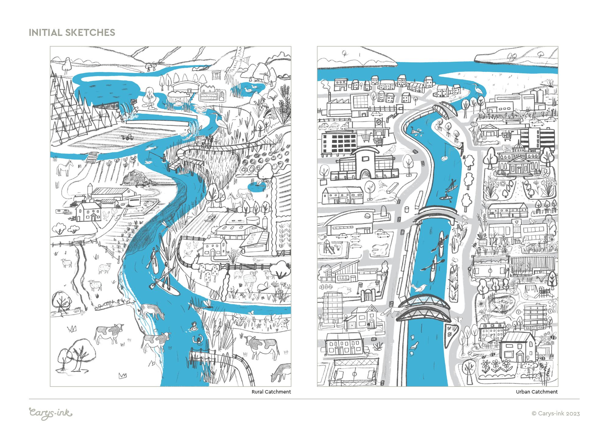
To create 2 illustrations, based on different types of catchment areas - one rural and one urban. Each illustration is to highlight key points of SSWAN’s proposals, showing the difference between continuing with the current systems and ‘business as usual’, compared to taking a more holistic, catchment-wide approach, with water companies and nature-based organisations working in partnership.
The illustrations are being used on the SSWAN website and other materials, to highlight specific approaches and to encourage and collect feedback on the plans.
Each theoretical catchment area has a river running though it. Left of the river shows how things look if we carry on with ‘business as usual’, and the right shows the positive impacts of integrating nature-focussed solutions.

Rural Catchment

Urban Catchment
PROCESS
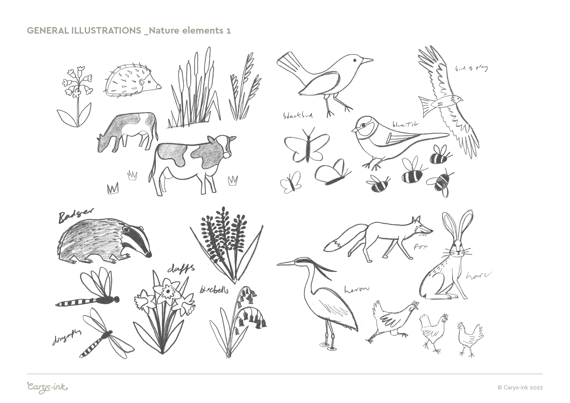
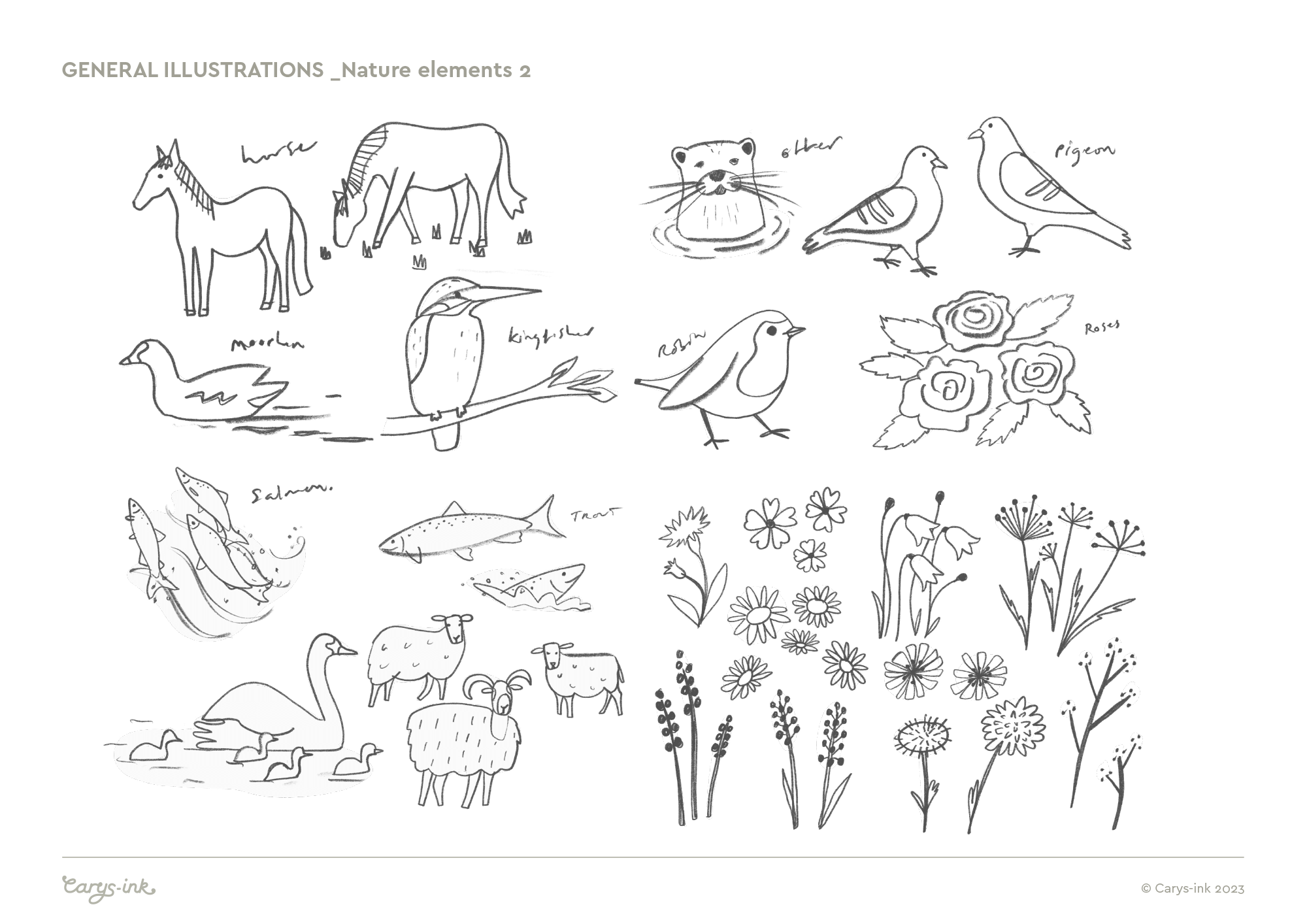
For each illustration the client had given me a list of things to include, a mix of good and bad landscape/environmental features and impacts along with nature elements and wildlife species. They were quite long lists (!) featuring specifics such as: buffer strips of vegetation, tidy farm storage/untidy farm storage with leaking septic/oil tanks, eroding river bank, weirs and barriers in the watercourse which impact fish passage, livestock in the water, phosphorus pollution caused by wastewater discharges, and for the urban area - building on flood plains, run-off from roofs, paved/impermeable areas, public green space soak-aways, recreational water activities… etc
My initial sketches for the project are shown below.
The compositions and how to depict both the good and bad approaches in one illustration was left to me to determine. I opted to distinguish between the left and right, rather than above and below, as this allowed for each side to have equal prominence.
RELATED PROJECTS

THE ECONOMIST EDUCATIONAL FOUNDATION | Eco-anxiety learning resource - An equally busy illustration, with lots of elements on the subject of climate change, worked up in a one colour, line drawn style

CHERISH PROJECT | Project graphics for an EU funded study into the impacts of climate change on coastal heritage